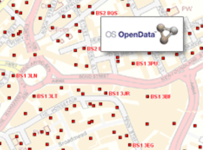
OS Code-Point Open
The Ordnance Survey provides the GB postcode location data as free to use Code-Point which you can read about here and the exact license terms are here.
Which is great, however, you’ll notice that being the GB dataset, you don’t get any of the BT postcodes that are used in Northern Ireland.
The Property Service of Northern Ireland (LPS) owns the copyright for the Northern Ireland postcode data, and there appears to be several ways to obtain the data and a license to use it:
The LPS have a product called the Central Postcode Directory which you can license from them, which is £250 for an annual licence and fee for internal business use.
The UK Office for National Statistics also publish the postcode data and grant you a single end user license for the Northern Ireland postcode data but as they say this does not cover commercial use and you need to contact the LPS directly for this as above.
The Ordnance Survey do have the full UK postcodes including Northern Ireland in their licensed product Code-Point which provides a precise geographical location, to a resolution of 1 metre, for each postcode unit in the United Kingdom. You can license this data for the entire UK, or just a subset. Therefore if you want to license the subset of Northern Ireland for everyone in your company for internal use (for example you were using them on an internal web application) then these can be licensed for 101+ users for £164.32 per annum. If you are using it for less users, then the price scales down to £49.30 for a single user. As Earthware are an Ordnance Survey Licensed Partner, we are able to supply these licenses and the data. Be aware that data you generate from the Code-Point postcodes will be considered derived data and most likely fall under the same license terms. For example, if you used the Northern Ireland data to draw out postal code polygons, perhaps by creating a Voronoi Diagram, then to keep using your polygons you need to maintain your OS license every year too. Of course public sector organisations can use this data for free under the Public Sector Mapping Agreement (PSMA).
Our friends at Geolytix have created some beautiful hand edited Postal Sector boundary polygons from the GB based Code-Point Open, which you can download as open data. They have also created Postal Sector boundary polygons for Northern Ireland as well, and if you wish to use these then you can license the Ordnance Survey Code-Point data through us, then you can enjoy full UK polygon coverage.


